
Pasadena, TX
Service Areas
Commercial Roof Repair Pasadena
Give Us the Address and the Gate Procedure
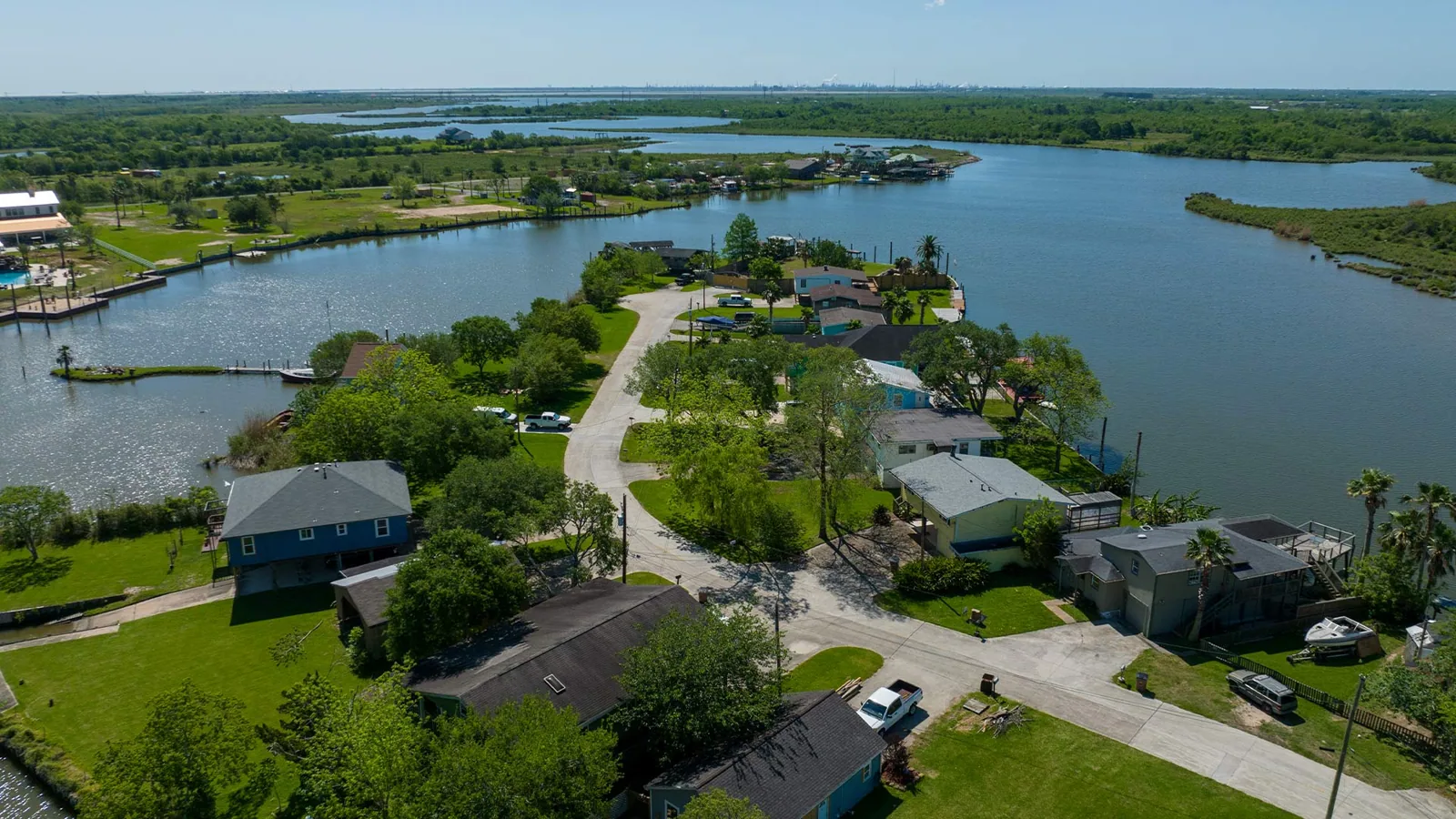
A roof on the Ship Channel and a roof on Clear Lake face the same hurricane season and almost nothing else in common. One sits among tank farms and turnaround schedules, the other beside marinas, aerospace firms and bay-side humidity. Our work runs outward from Pasadena, TX along the corridors that carry crews, material and cranes, and each stop has its own access rules, its own wind exposure and its own idea of what a good time to work is.

Service Areas
Start on the Industrial Corridors
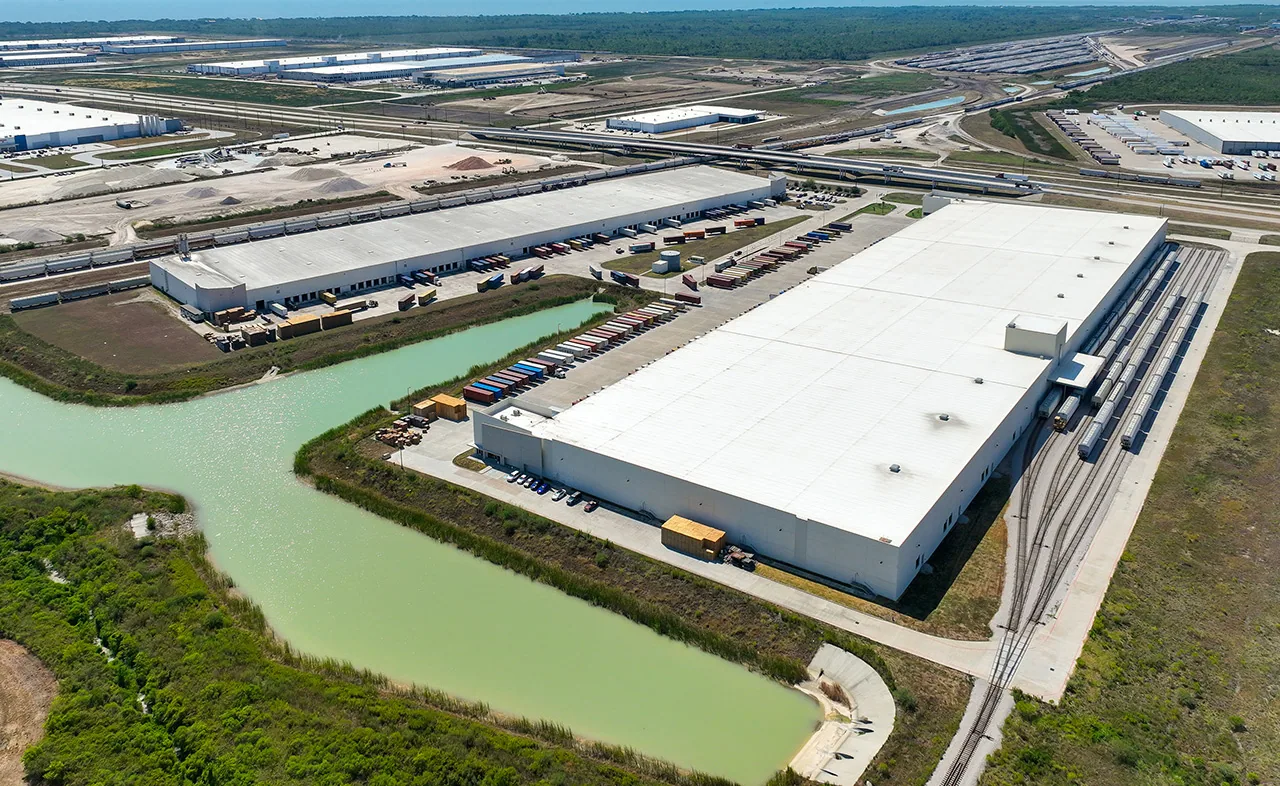
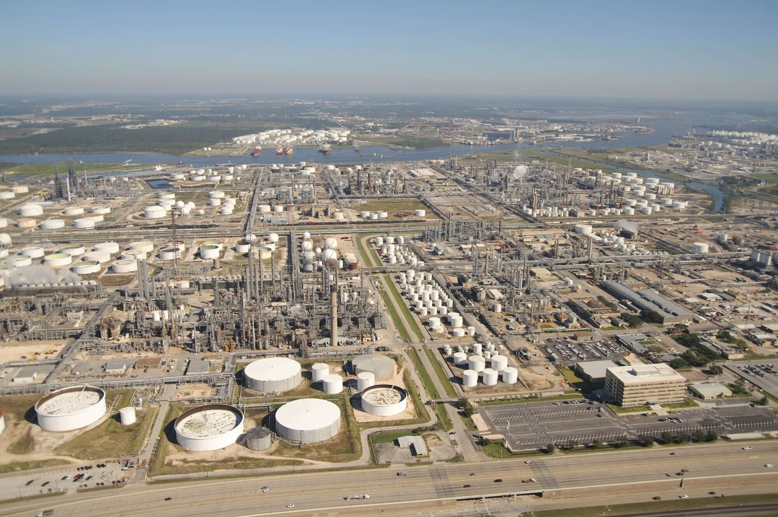
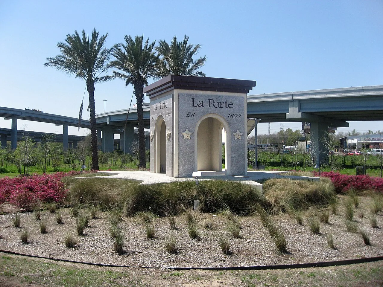
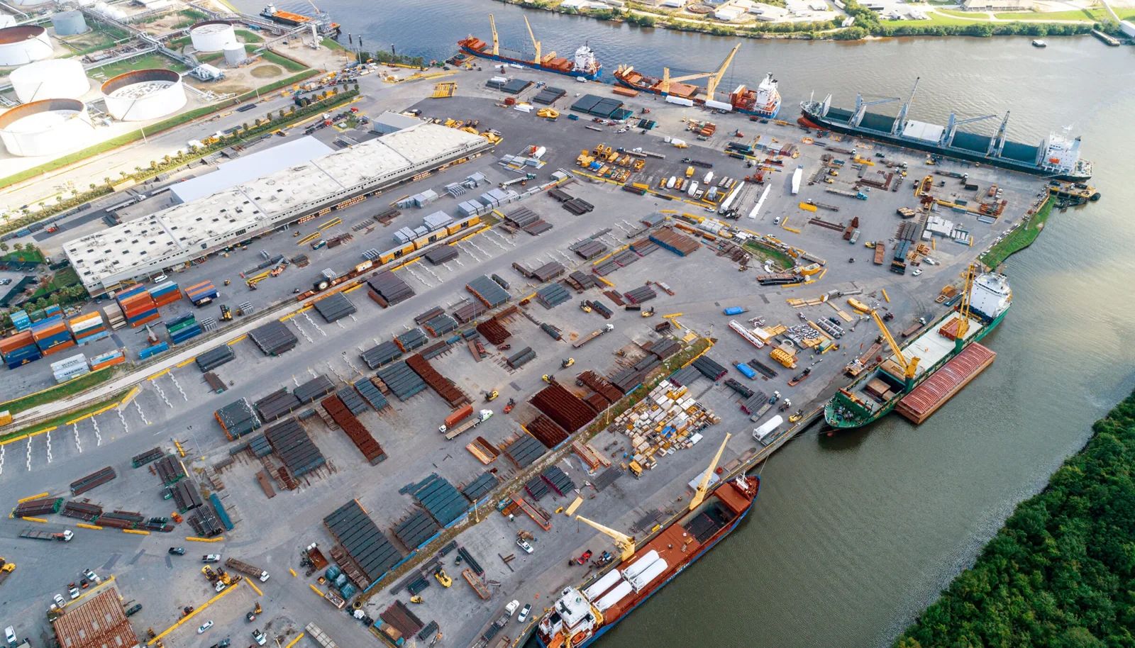
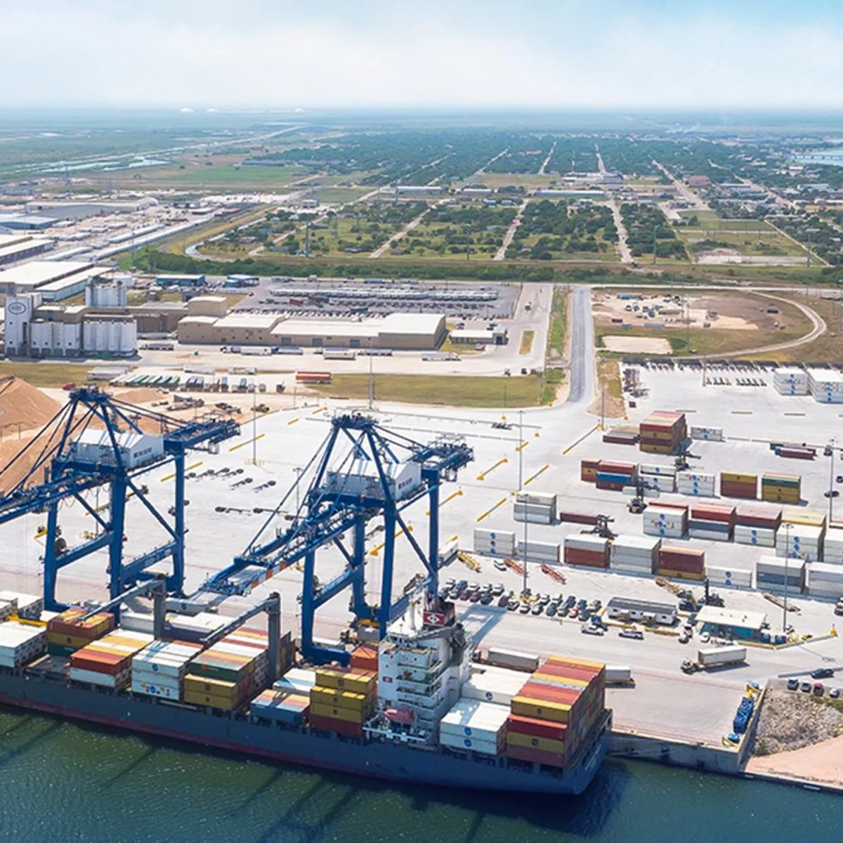
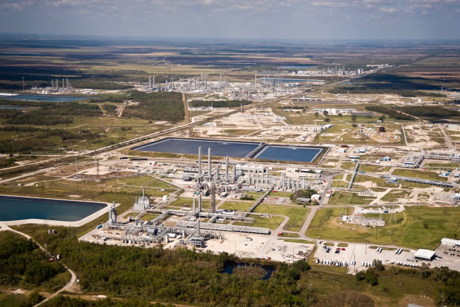
State Highway 225 links the I-610 loop to Pasadena, Deer Park and La Porte, passing refineries, chemical plants and tank farms on the way. The Pasadena Freeway and SH 225 corridor and the Bayport Industrial District are where turnaround calendars and hot work permits govern the day. The Shoreacres, with 314 acres of container yard and five berths, adds vessel and truck traffic to the staging plan. Along the same highway, Deer Park, with its refinery on the Ship Channel, and La Porte, with its Bayport and Battleground industrial districts, carry the same industrial rhythm.
Reach the Hospitals, Campuses and Arteries
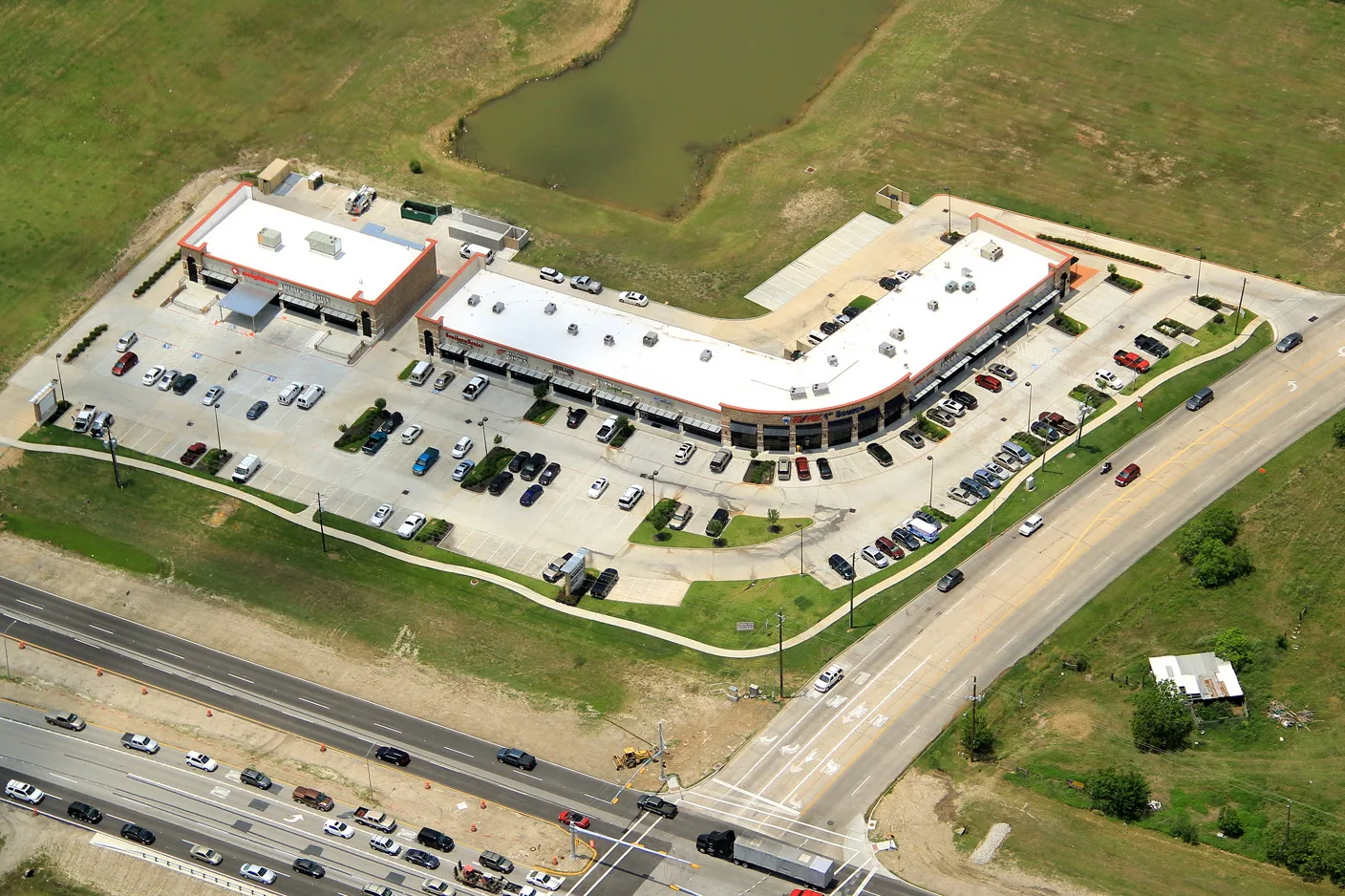
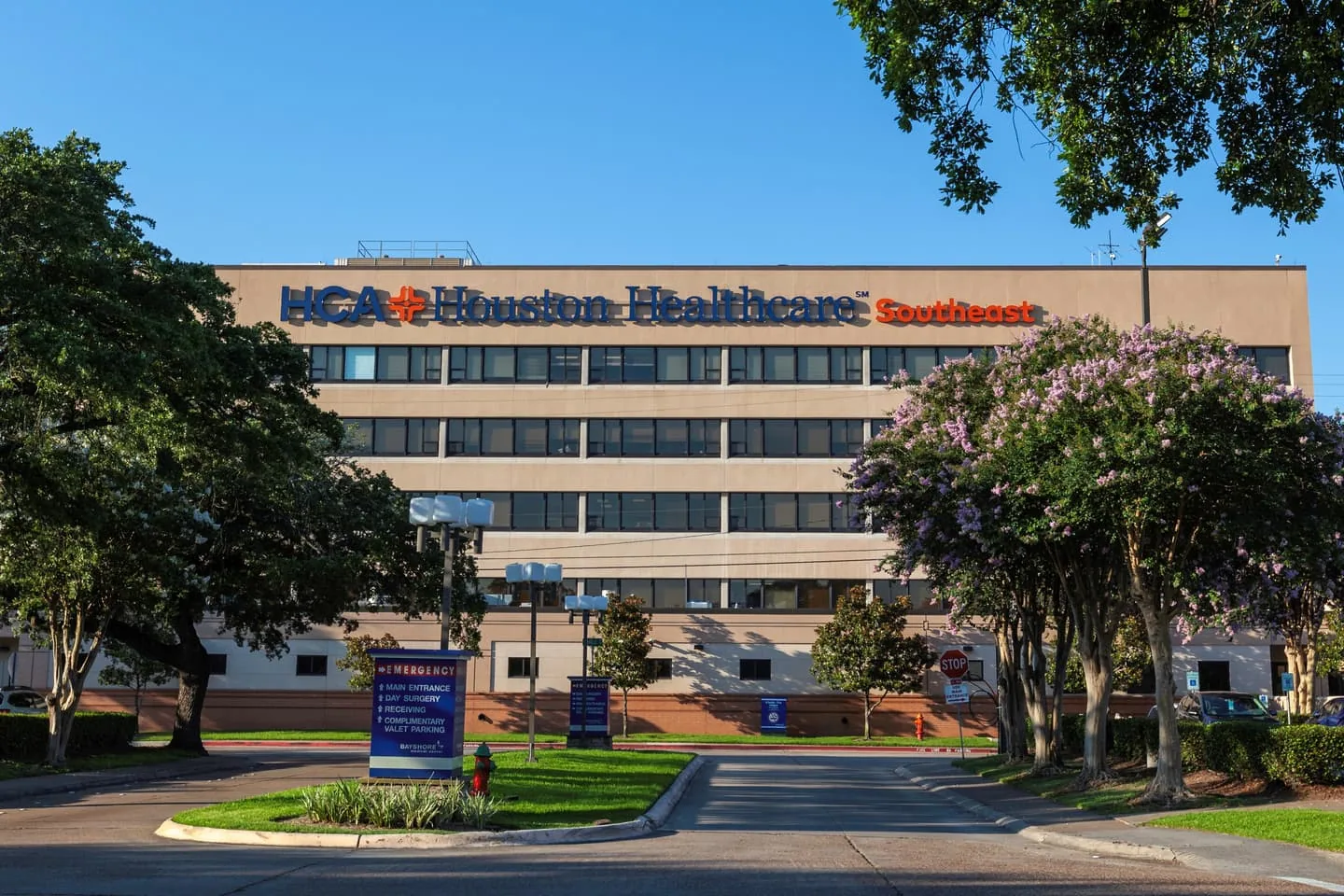
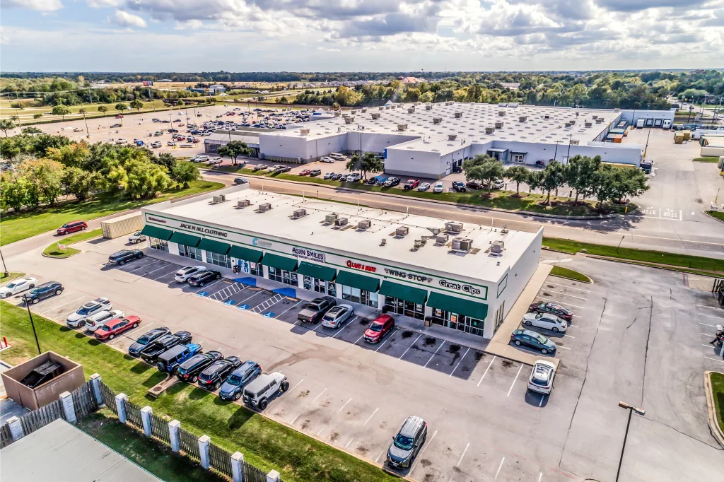
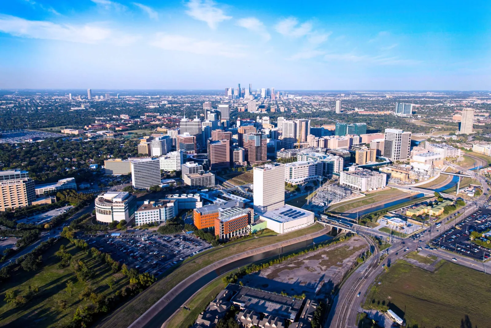
Spencer Highway holds a 350-bed hospital at number 4000 and the San Jacinto College Central Campus at number 8060, which is why the Spencer Highway medical and education corridor is planned around patients and students. In January 2023 an EF3 tornado crossed Fairmont Parkway, and roofs at Pasadena Memorial High School and several businesses took damage. Both corridors call for phased work, protected entries and lift plans that stay clear of drop-off lanes.
Follow the Bay Toward Baytown and Clear Lake
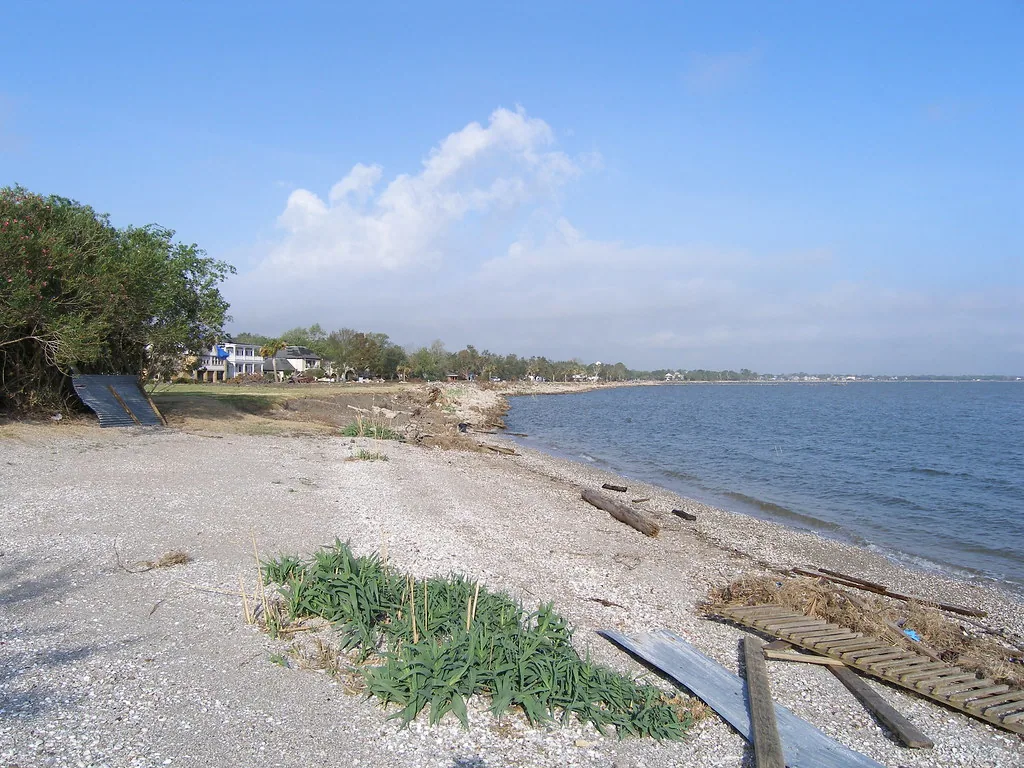
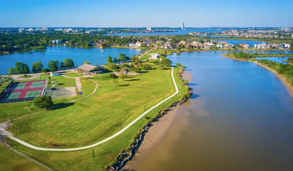
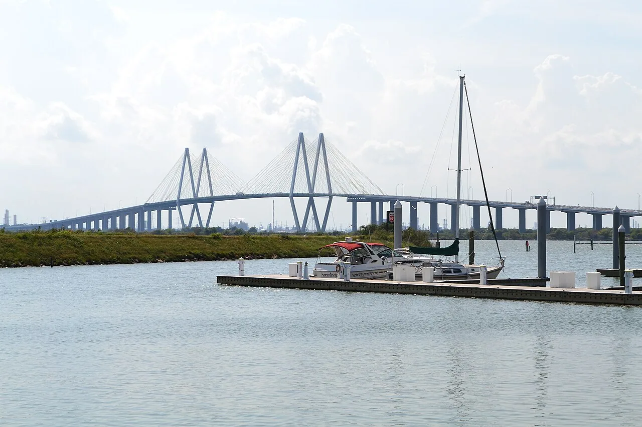
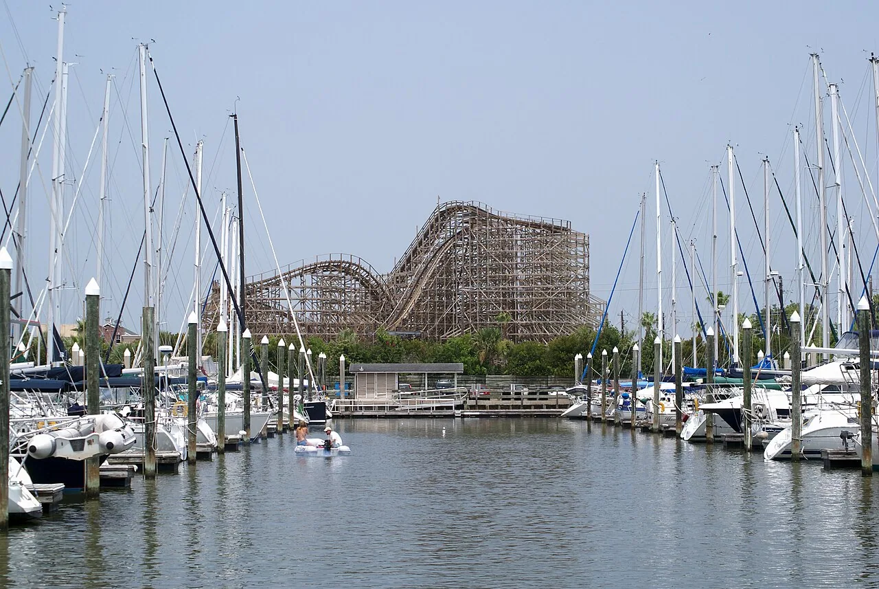
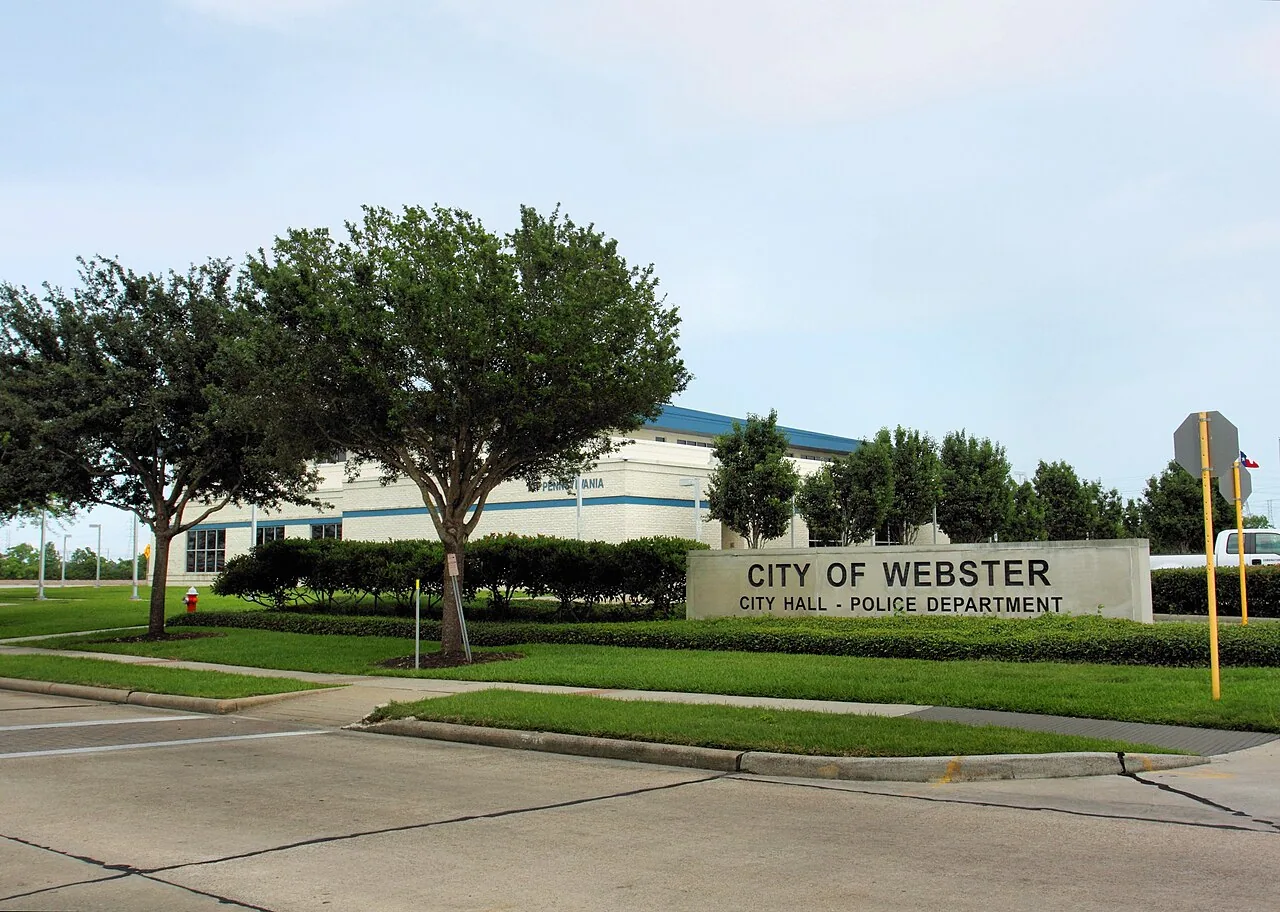
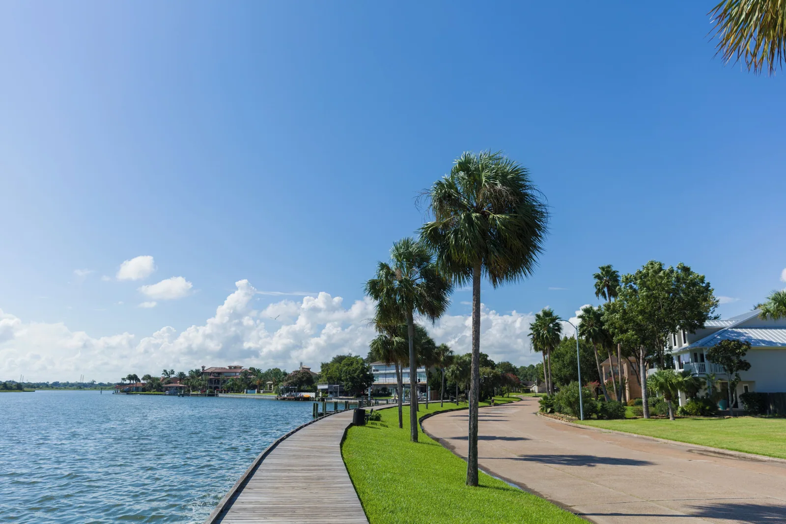
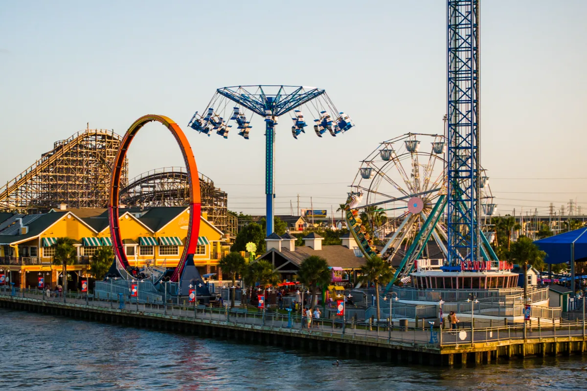
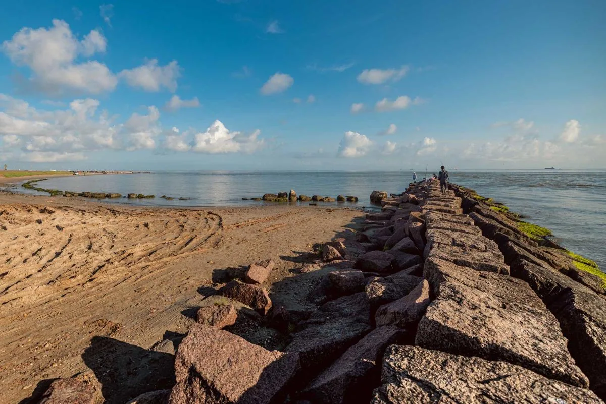
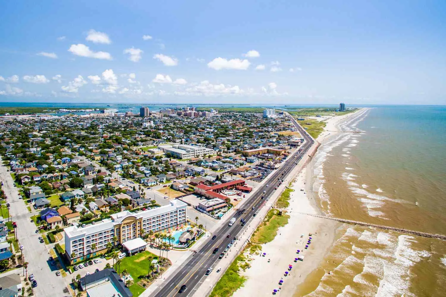
Baytown holds the ExxonMobil complex and Houston Methodist Baytown Hospital, while Clear Lake City sits beside NASA's Johnson Space Center, with Nassau Bay, Webster, Kemah and League City filling out the communities around it. Humid air off Galveston Bay and storm surge, such as Ike's surge at the Kemah Boardwalk in 2008, put corrosion and edge securement at the front of every plan. Texas City and Galveston share the same Gulf exposure.
Plan for the Windstorm Line East of SH 146
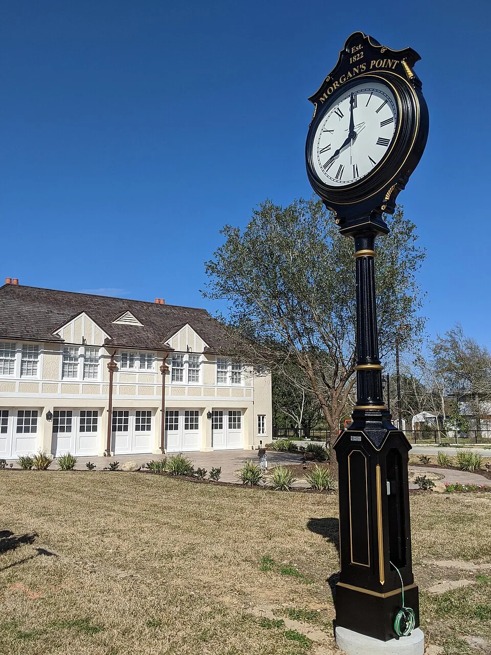
The windstorm insurance zone covers the land east of State Highway 146 in Pasadena, Morgan's Point, La Porte and Seabrook. Reroofing there has to pass a state windstorm inspection, so even a modest repair benefits from documentation. After a major wind event, a hurricane-damaged roof starts with a dry-in and dated photographs, which is the file a carrier can accept. Beside Alvin, the reserve base adds escort and badging rules.
Commercial Roofing Questions
Do you travel beyond Pasadena for commercial roof work?
Yes, along the corridors from the Ship Channel to the bay, including Baytown, Galveston and the Clear Lake communities. Travel time shifts the dispatch plan, so we confirm the access route and parking before the crew leaves.
Why does the location of a building change the roof plan?
Wind exposure, flood risk, insurer rules and site access all shift with the address. A building east of SH 146 faces windstorm inspection, while one inside a plant gate needs permits and escorts before the first crane pick.
What should dispatch know about a plant-gate response?
Give us the site address, gate contact, badging rules, escort requirements and the area affected. The dispatcher checks those constraints before sending a crew so the first visit can reach the roof without losing time at entry.
What changes when an address sits in a windstorm inspection area?
The permit and inspection steps can change with the location. We confirm the current requirements with the authority having jurisdiction and include those steps in the schedule before material staging.
Give Us the Address and the Gate Procedure
Tell us where the building sits, how crews and trucks reach it and who clears them. We will build the access and staging plan before the first visit.