Commercial Roofing Services
Drone Roof Inspections in Pasadena, TX
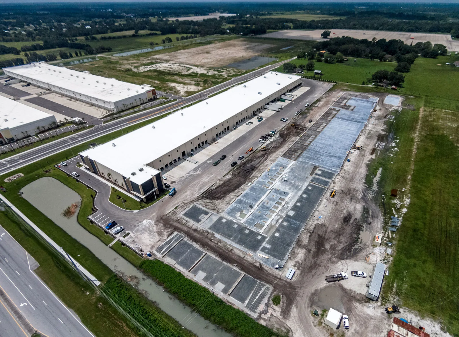
Some roofs are too large to walk in a day and too crowded with equipment to walk safely. A big distribution building near Beltway 8, a plant with pipe racks and exhaust stacks rising through the roof, or a hospital with several wings at different heights all share the problem: a crew on foot spends hours getting from one corner to another, and still misses what it cannot reach.
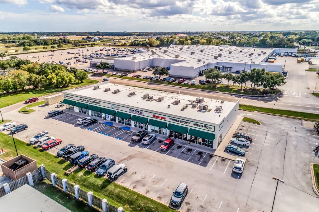
Drone imaging solves part of that. In Pasadena, TX, we use it to survey large and hard-to-access commercial roofs from above, capture overlapping photographs that can be measured, and find the areas that need a closer hands-on look. It speeds the inspection and removes some of the exposure for the crew. It is a tool, not a replacement for walking the roof.
Decide Where a Drone Earns Its Place
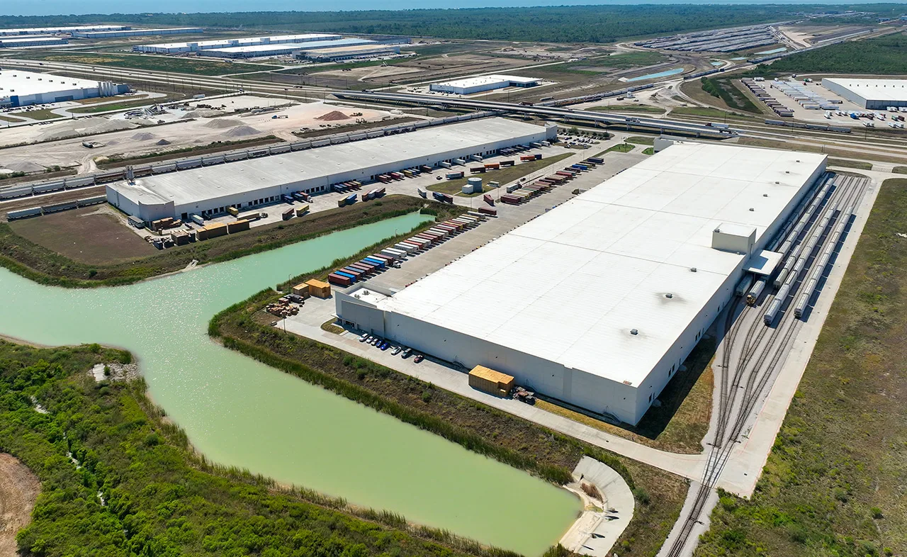
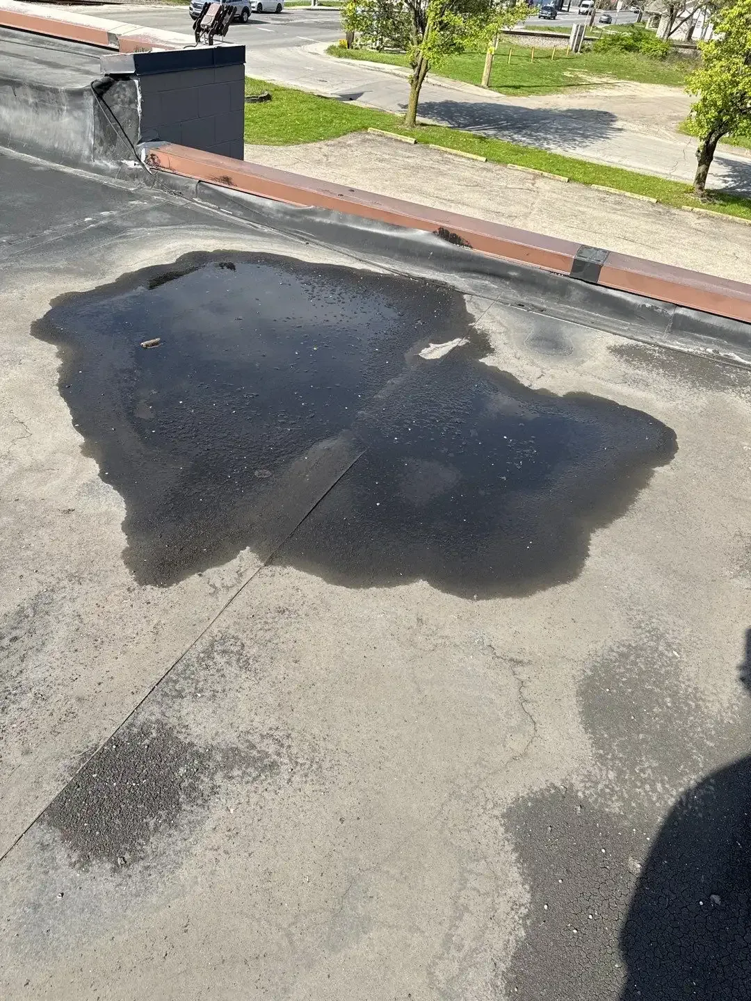
A drone fits best when the roof is very large, steep, fragile or high above the ground. Distribution and warehouse roofs with long runs of membrane benefit from a quick overview of ponding, patches, drain locations and visible splits. Roofs with brittle skylights or heavily corroded metal are risky to walk, and a drone can look at them first. Process plants like those in the Bayport Industrial District, which hosts more than 60 chemical plants, often have vents, piping and equipment on the roof, and an overview helps before anyone steps out.
The drone has limits. It cannot probe moisture, test a seam or feel a soft deck. If the building is small and open, walking it is faster. We tell you which approach makes sense before we schedule the visit.
Plan the Flight Around the Airspace and the Site
Flight planning is as important as the camera. Ellington Airport, with its three concrete runways, military tenants and an FAA launch site license, lies about 15 nautical miles southeast of downtown Houston, and a roof near Alvin means checking the airspace before anything flies. Flights follow FAA rules, including airspace authorization where an airport or controlled area applies, and we check the site's location before anything goes up.
Industrial sites add their own rules. Many plants require badge access, a site safety orientation and an approved flight window. Some limit drones near process areas. We submit the flight plan to the facility team in advance, agree on launch points and keep the aircraft clear of people, trucks and active lifts. Wind and weather limits apply, and we reschedule rather than push a flight in unsafe conditions.
Capture Imagery That Can Be Measured and Compared
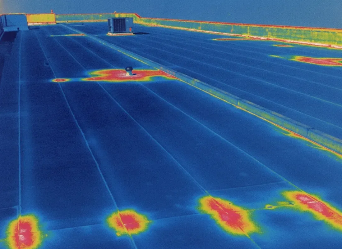
A good drone survey is systematic. Overlapping images are captured in a grid so the roof can be stitched into a single map, with oblique shots added for parapets, edges and equipment. Thermal imaging can be added to flag temperature differences that suggest trapped moisture, though it works best alongside the infrared moisture survey process and confirming probes.
The value comes from comparing. A map from this year lines up against next year's and shows whether a blister has grown, a seam has opened or a pond has spread. Drain locations, low spots and visible repairs can be tagged on the map so the facility team knows exactly where to look. That is faster and cheaper to maintain than a pile of unlabeled photos.
Pair the Overview With a Hands-On Walk
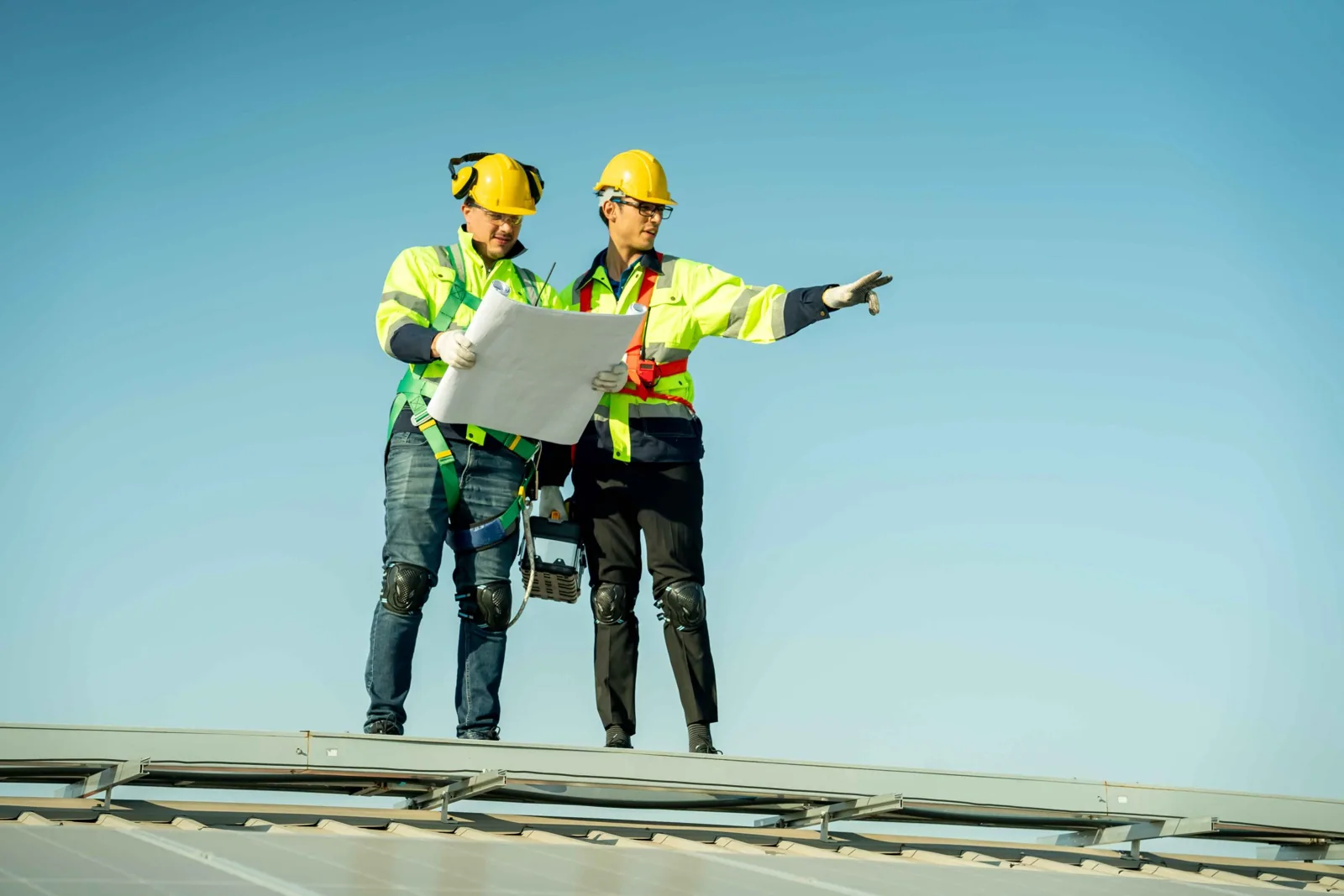
The drone points, and a technician confirms. Once the imagery flags suspect areas, we send a person to those spots to test the seam, press the sealant, probe the substrate and photograph the defect close up. That joins the overview to a commercial roof inspection that is built on touch as well as sight.
The combination saves time on big roofs. Instead of walking every square foot with equal attention, the crew spends its effort where the overview says the risk lives. For distribution centers, which can span huge areas, that focus makes a real difference. The same approach suits a distribution center roof where the area is large and the dock schedule is tight.
Use Imagery After the Storm and for the Claim
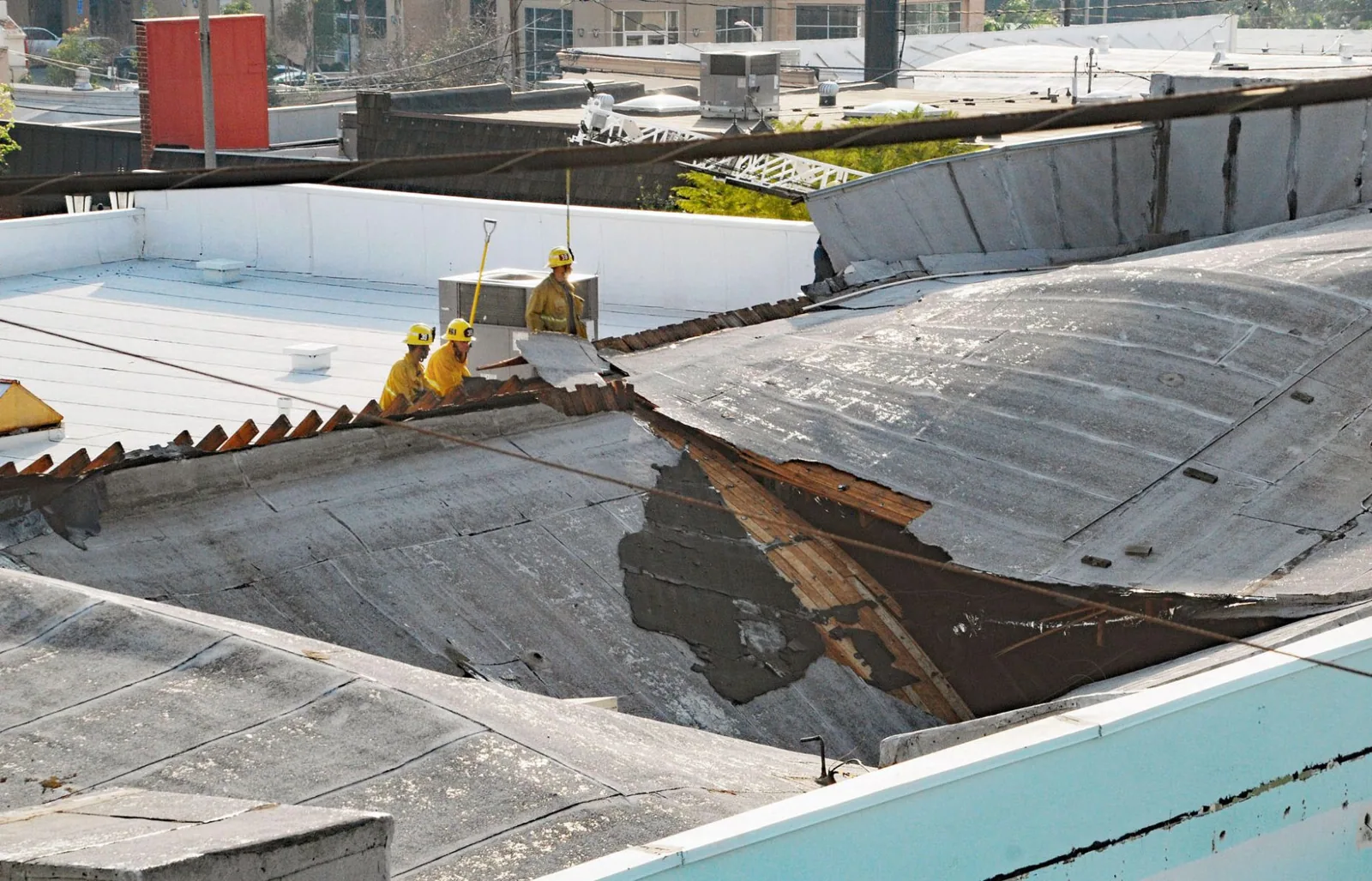
After a severe storm, access to damaged roofs can be limited, and a drone gives a fast, safe overview of where membrane is torn, panels are missing or debris has landed. The January 2023 EF3 tornado left sporadic roof loss on structures along its path through Pasadena, and Hurricane Beryl's eastern eyewall crossed the Houston region in July 2024. Quick imaging helps owners prioritize which buildings need storm damage roof repair first.
Dated imagery also records conditions for the carrier. When paired with roof insurance claim assistance, the images show the roof as it stood on a given day, which supports the claim and separates storm damage from long-term wear.
Hand Over a File the Facility Team Can Use
The deliverable is built for the person who has to act on it. Findings are tagged on the roof map by number, each with a close-up and a short description, and the summary separates items that need a technician soon from items that can wait for the next maintenance visit. The raw images stay with the file, so a roofer, an engineer or an insurance adjuster can look at the same evidence without a second site visit.
Owners with several buildings can run the same flight pattern at each site and compare roofs on equal terms. That turns a scattering of one-off photos into a record that shows which building is aging fastest and where the next dollar of roof budget should go.
Before launch, agree on the questions the imagery must answer and the areas that still require a person on the roof. Capture consistent views of corners, equipment clusters, roof transitions, and drainage paths, then label each image by building and zone. Weather, glare, obstructions, or flight restrictions can leave gaps, so note them instead of treating a missing view as proof of sound condition. Use the images to direct a closer inspection, not to infer membrane adhesion or moisture below the surface. A concise index with dates and orientation makes the files practical for owners, adjusters, and future maintenance crews.
Commercial Roofing Questions
When is a drone survey better than walking the roof?
A drone earns its place on large or crowded roofs, steep surfaces and roofs with fragile areas, where it gives a quick overview without exposing a crew. On small, open roofs, a walk is usually faster and gives more detail. We recommend the approach that fits the building.
Can a drone find moisture inside the roof?
A thermal camera can flag temperature differences that suggest wet insulation, but it cannot prove it. We follow up with moisture meters or core cuts to confirm any suspect area before recommending repair or replacement.
Do I need permission to fly near an industrial site or an airport?
Sites near airports and controlled airspace need authorization before flight, and many industrial facilities add their own access and flight rules. We check airspace and coordinate with your site contact in advance, so there are no surprises on the day.
What do I receive after the flight?
You receive a stitched roof map, tagged findings with photographs, and a written summary. Files can be organized to compare with later surveys, so you can see how a condition changes from one year to the next.
How long does a drone survey take?
Flight time on a large roof can be short, but badge access, safety orientation and weather windows stretch the visit. We give you a planned time on site, and the report follows once the imagery is processed and reviewed.
Keep Reading
Related Roofing Work in Pasadena
Send Us the Site and We Will Plan the Flight
Share the building location, the roof size and any access rules. We will plan the flight with your facility director and deliver imagery that helps you decide what to do with the roof.